734063, Republic of Tajikistan, Dushanbe, Ayni st., 267
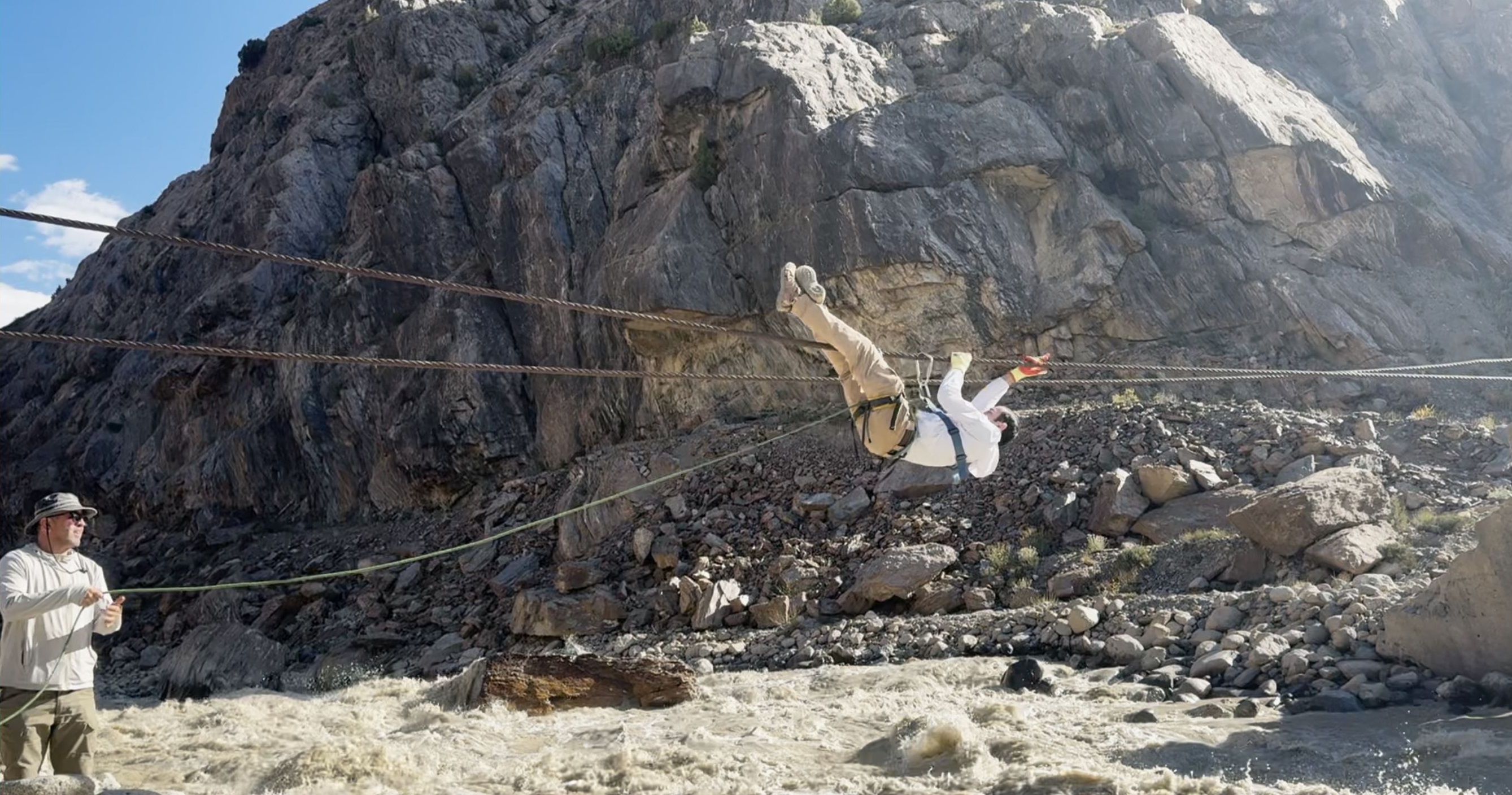
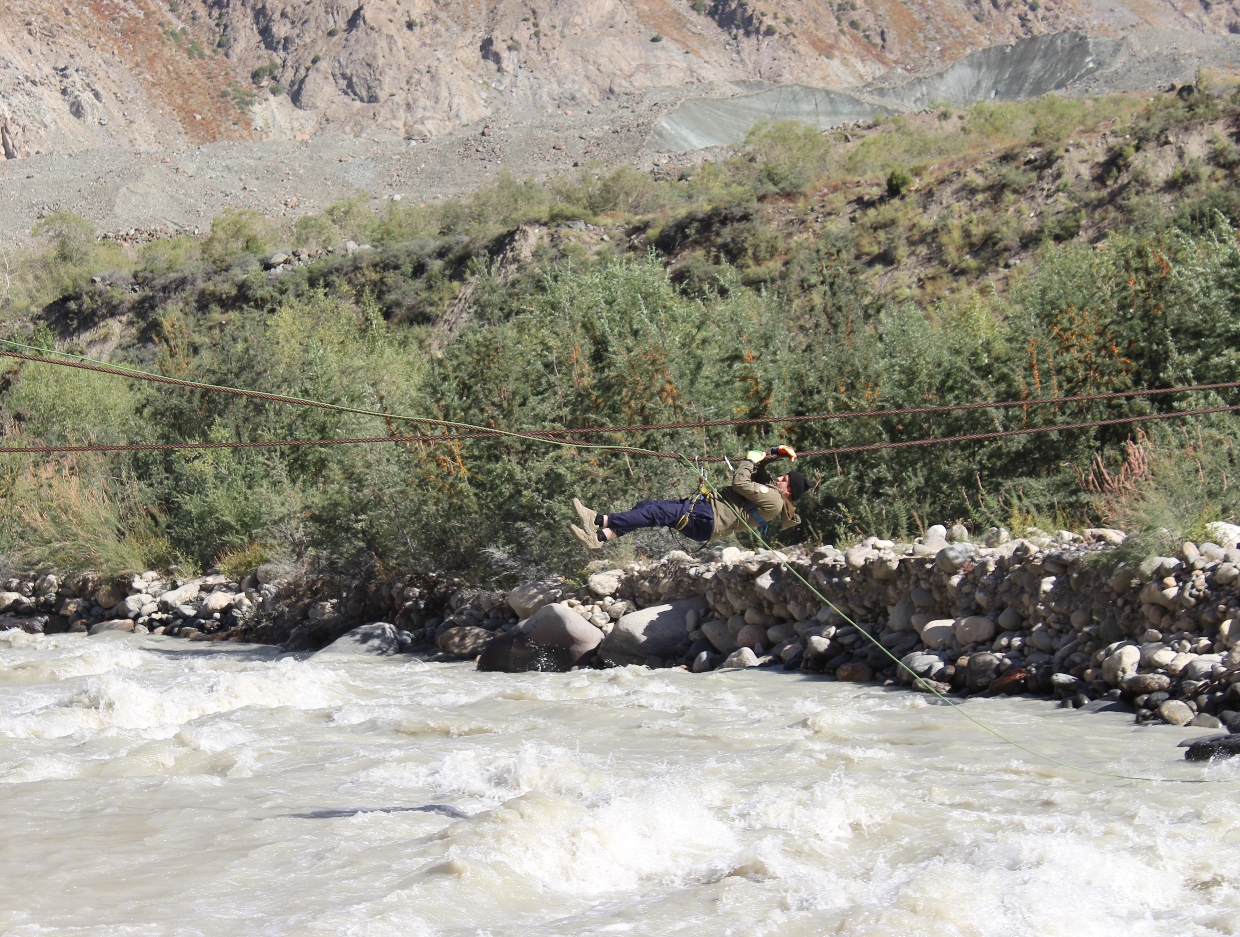
A group of scientists and researchers from the Research Center for Ecology and Environmental Protection of Central Asia (Dushanbe) conducted fieldwork on the surging glaciers in the upper reaches of the Vanjob River Basin from 24 to 28 August 2026. The main objectives of the fieldwork were to investigate the current state and dynamics of the Meghdor and Khirson glaciers, collect field data, conduct aerial surveys using unmanned aerial vehicles (UAVs), and carry out hydrological observations in the Vanjob River Basin.
Surging glaciers are characterized by a cyclical pattern of movement. Periods of relatively slow ice motion can alternate with short phases of intense activity. During such phases, large volumes of ice are rapidly transferred toward the lower part of the glacier, allowing the glacier terminus to advance a considerable distance over a short period. This process can alter the morphology and surface elevation of the glacier and may also affect river channels and the formation of glacial lakes.
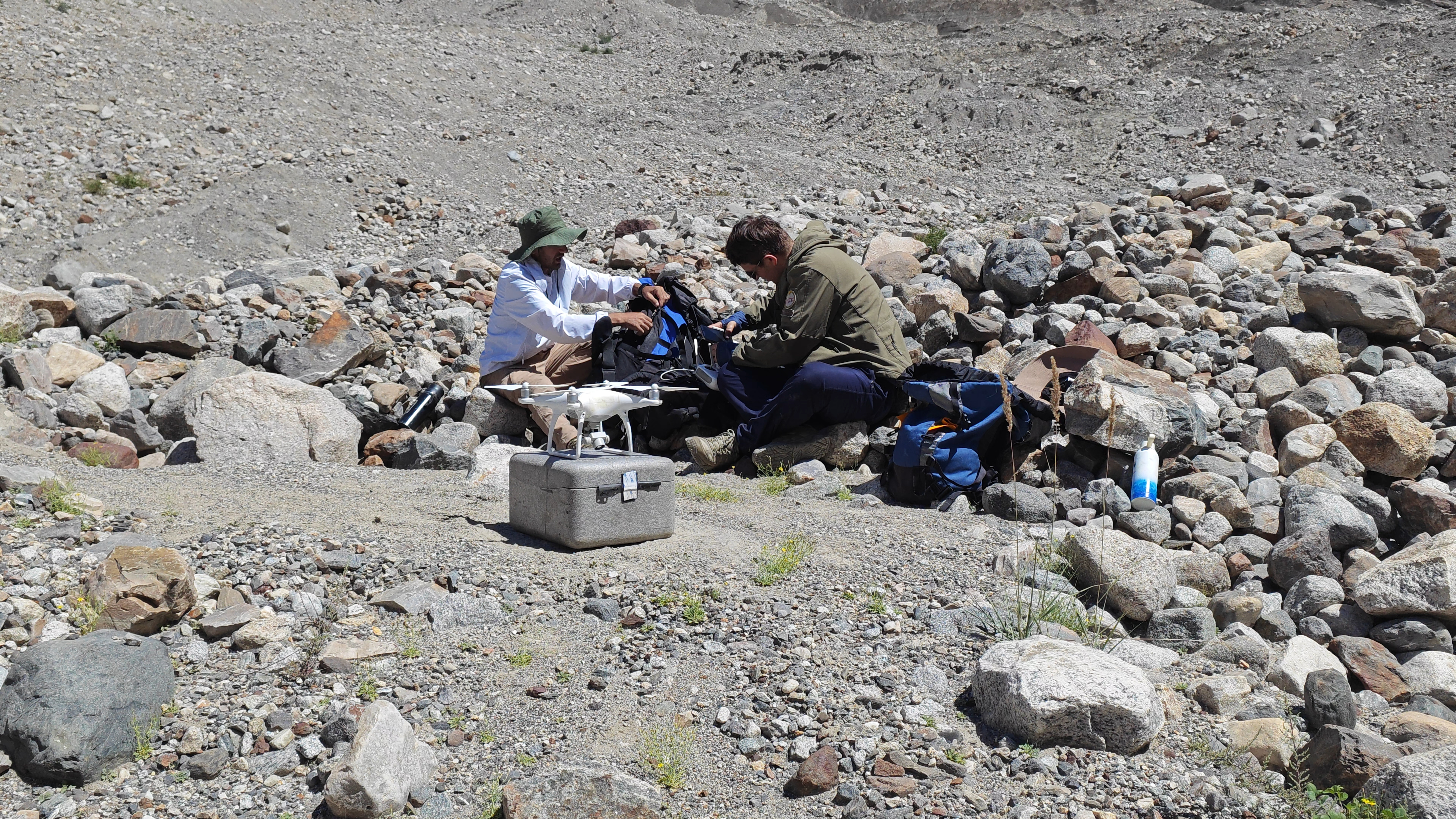
The Khirson Glacier is located on the slope of the Academy of Sciences Range, in the upper reaches of the Vanjob River, within a right tributary of the Abdukahor River. It is one of the best-known surging glaciers and has been the subject of detailed glaciological studies for many years. Scientific studies indicate several phases of glacier activation, including surges in 1963, 1973, 1977, 1989–1990, 2001, and 2011.
The 1963 event represents one of the most prominent examples of the impact of rapid glacier movement on the blockage of the Abdukahor River channel. During the surge, the glacier terminus advanced by approximately 1,750 m, blocking the Abdukahor River channel and resulting in the formation of a glacial lake. The glacier velocity during the active surge phase reached up to 100 m per day, while the lake volume was estimated at approximately 14.5 million m³ in mid-June.
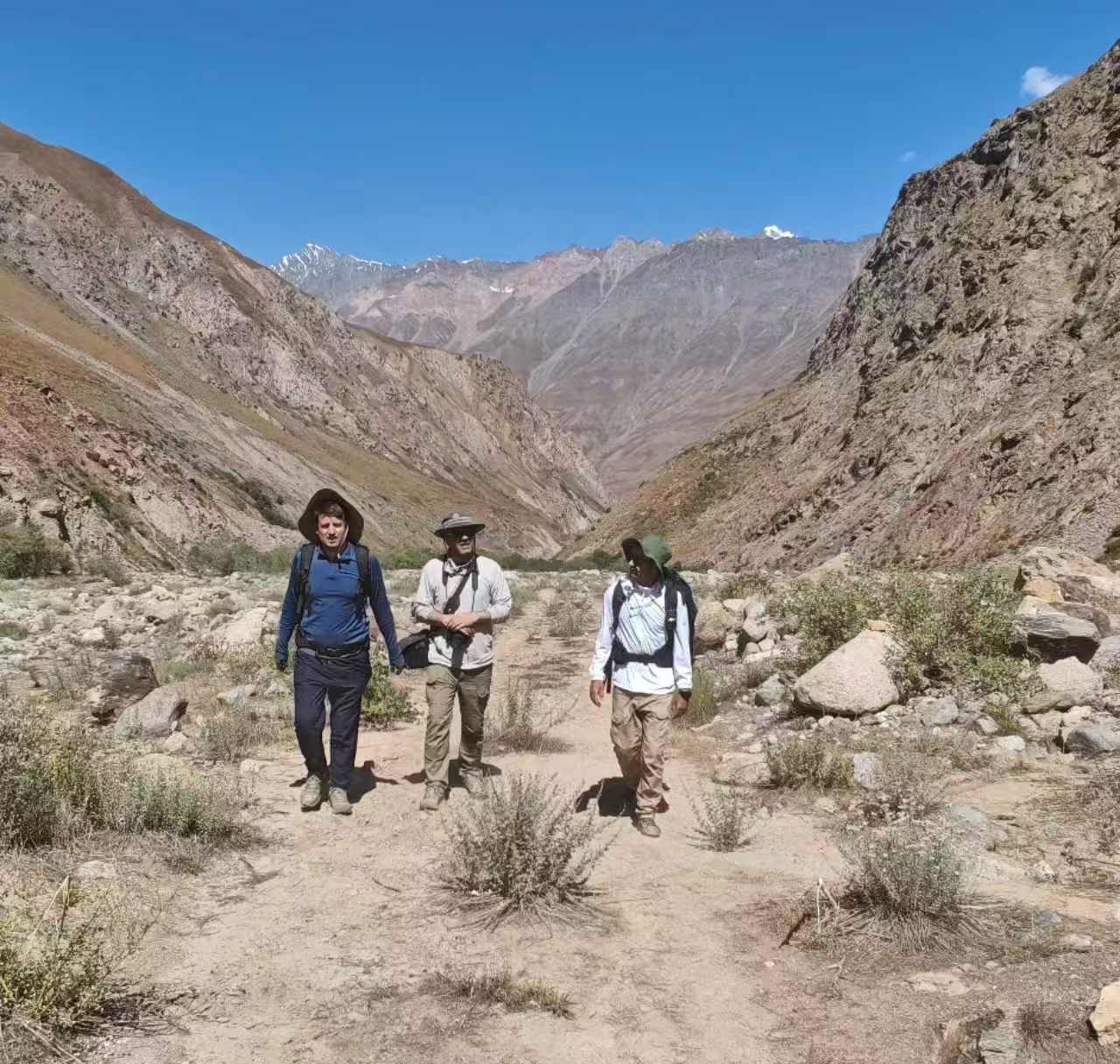
In 1973, the Khirson Glacier experienced an even more intense surge. The glacier terminus advanced by approximately 1,925 m and blocked the channels of the Dastirost and Abdukahor rivers. As a result, a glacial lake with an estimated volume of approximately 16.4 million m³ was formed. The outburst of such glacial lakes can lead to debris flows and floods.
This historical experience demonstrates that monitoring of surging glaciers should not be limited to determining the position of the glacier terminus. Glacier velocity, changes in surface elevation, morphological changes, surge activity, retreat or advance of the glacier terminus, as well as the condition of river channels and glacial lakes should be analyzed as interconnected elements of a single system.
In addition to Khirson, the Meghdor Glacier also exhibits significant dynamic changes. Modern satellite-based studies covering the period 1993–2023 indicate that the Meghdor Glacier (RGO) was in an active phase of surge motion during 2000–2020. During this period, the position of the glacier terminus changed from elevations of approximately 3,240–3,070 m to 2,950–2,590 m.
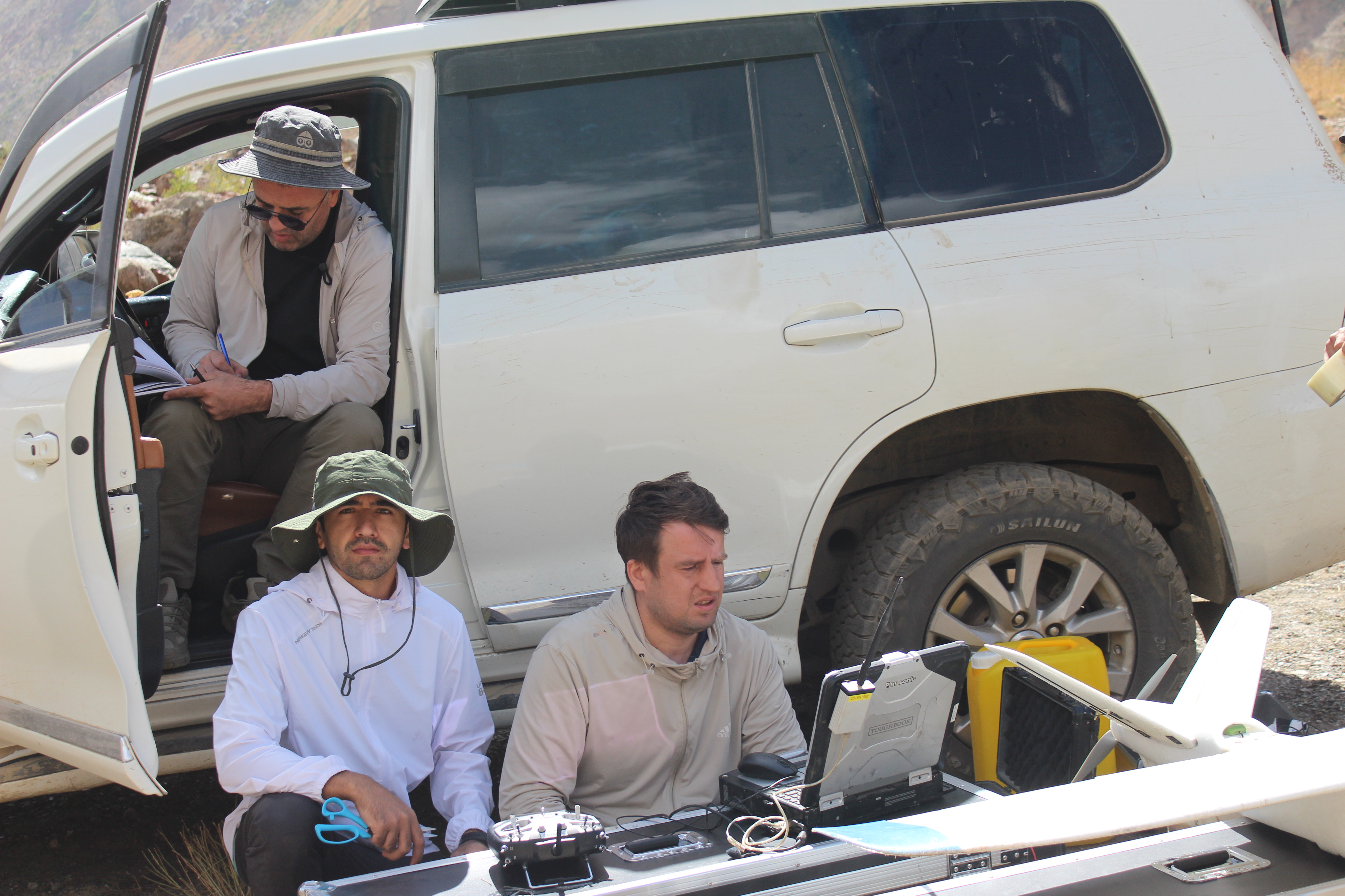
The simultaneous study of the Meghdor and Khirson glaciers provides an opportunity to compare the dynamics of two surging glaciers within the same mountain–climate system. This is particularly important for identifying morphological changes, assessing glacier velocities, and examining their relationships with hydrological processes.
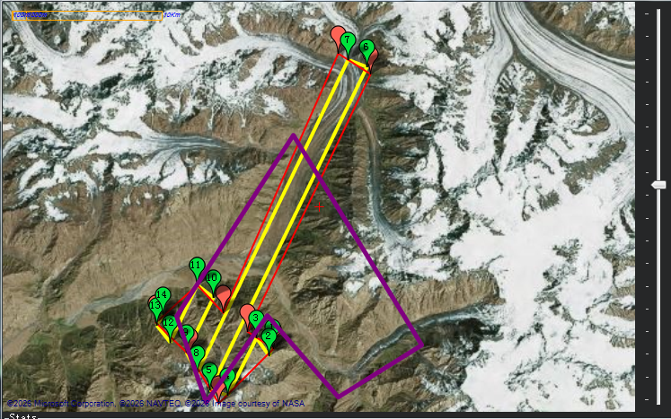
One of the main components of the 24–28 August 2026 fieldwork was the use of unmanned aerial vehicles to conduct detailed aerial surveys of the glacier surfaces. The acquired data will be used to generate orthophotos and digital surface elevation models, determine the positions of glacier termini, detect morphological changes, and analyze glacier dynamics. An important advantage of this monitoring approach is the ability to compare high-resolution UAV data with satellite imagery, GIS data, and observations from previous years.
In August 2023, the Center’s scientists also conducted an initial UAV-based survey of the Meghdor and Khirson glaciers. Therefore, the 2026 data are particularly important for assessing changes that have occurred over the three-year interval and for establishing a baseline for repeated high-resolution observations.
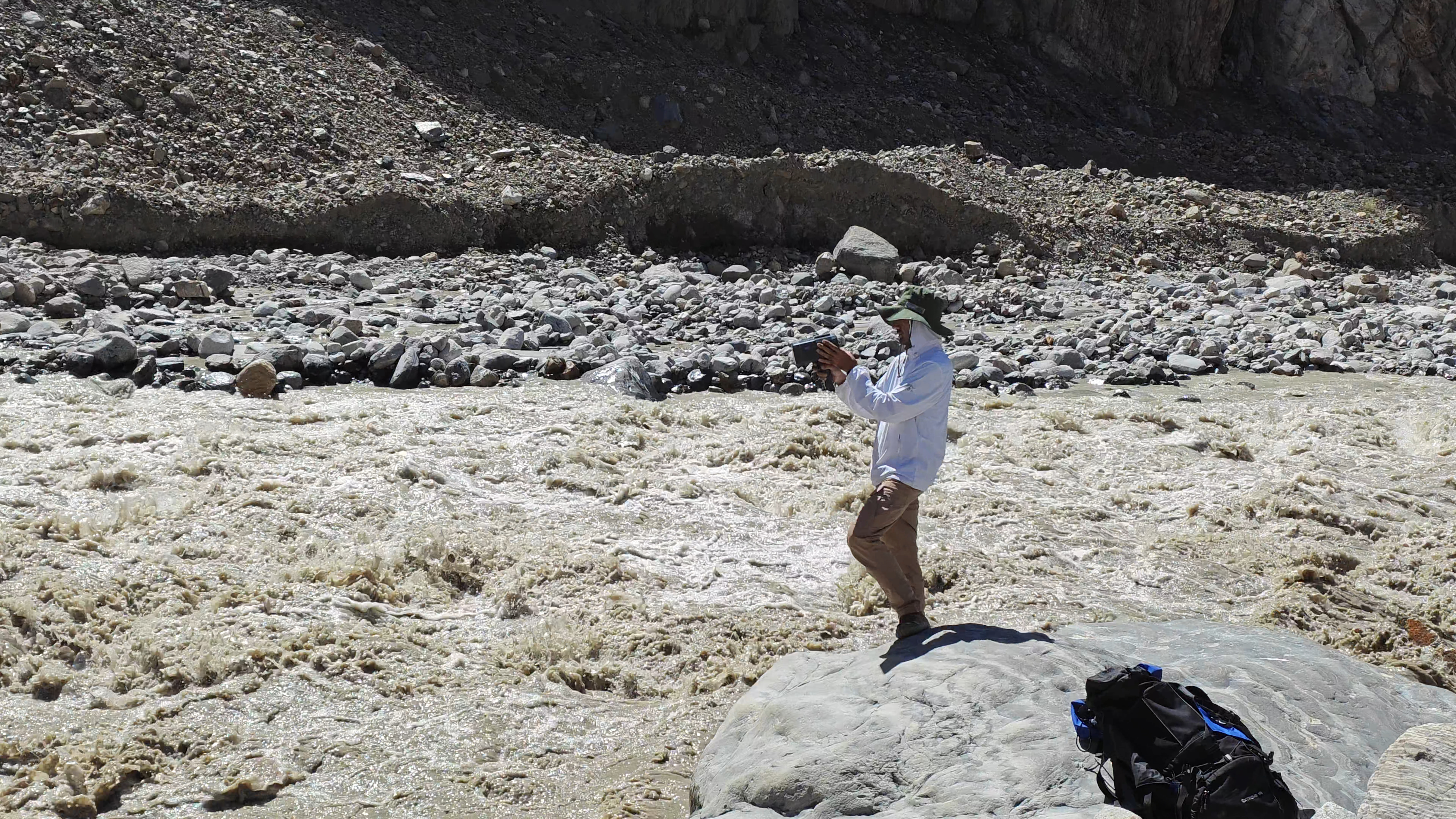
Alongside the glaciological investigations, hydrological observations were conducted in the main tributaries of the upper Vanjob River Basin, including measurements of flow velocity and discharge using modern radar equipment for measuring surface flow velocity (Surface Flow Velocity Radar). The scientific team also surveyed the area around Votkhud village and assessed the condition of the affected area following the debris flow of 19 July 2026. During the fieldwork, damage to several water-supply facilities and irrigation infrastructure was also observed.
Field observations, UAV aerial survey results, satellite imagery, GIS data, and hydrometeorological indicators will be used collectively to assess morphological and dynamic changes in the glaciers, the condition of river channels, and potential natural-hazard factors. The history of the Khirson Glacier, particularly the surge events of 1963 and 1973, demonstrates that rapid glacier movements can be accompanied by river-channel blockage, the formation of glacial lakes, and the potential outburst of such lakes.
The 2026 fieldwork represents a continuation of monitoring of the surging glaciers in the Vanjob River Basin. Continued observations and the integration of field data with UAV-derived products, Earth observation data, GIS, and hydrometeorological information are important for developing long-term observation records, improving the assessment of glacier dynamics, and strengthening the scientific basis for natural-hazard risk assessment.