The upper part of the Varzob River basin can be considered as the precipitation pole in the Republic of Tajikistan, where the precipitation norm is more than 1600 mm per year and the snow cover height in years of heavy snowfalls in winter reaches 4.0-5.0 meters. Due to the large amount of precipitation, especially snowfalls, the Maykhura River basin (right tributary of the Varzob River) is considered one of the avalanche-prone areas of the Republic. In recent years, avalanches have often occurred in this area, causing damage and sometimes human casualties.
Early warning of disaster risk using modern technologies allows taking measures in advance to prevent the occurrence of natural disasters and their devastating consequences.
The Research Centre for Ecology and Environment of Central Asia (Dushanbe) with the involvement of scientists and specialists from the Xinjiang Institute of Ecology and Geography of the Chinese Academy of Sciences in cooperation with the Committee for Emergency Situations and Civil Defense under the Government of the Republic of Tajikistan in order to reduce the risk and early warning of natural disasters (avalanches, mudflows, landslides) on the territory of Tajikistan and emerging natural hazards since 2017 has been conducting research in the Maykhura River basin (southern slope of the Hiss River).
In order to monitor typical mountain hazards, including avalanches, the Centre's researchers conducted aerial surveys on certain sections of the Dushanbe-Khujand road (48-75 km) using unmanned aerial vehicles. Aerial photography of the Maykhura section of the Dushanbe-Khujand motorway was carried out using a D2000 quadrocopter equipped with RGB and LIDAR cameras.
In addition, space images taken by the Sentinel 2A satellite of the Sentinel project of the European Space Agency were used to study the road condition, snow cover level and other measurements in the study area.
Based on the processing of aerial photography materials and the use of high-resolution space images, a map of the area was developed and the exact locations of avalanches on the Dushanbe-Khujand motorway (from 61 to 75 km) were determined.
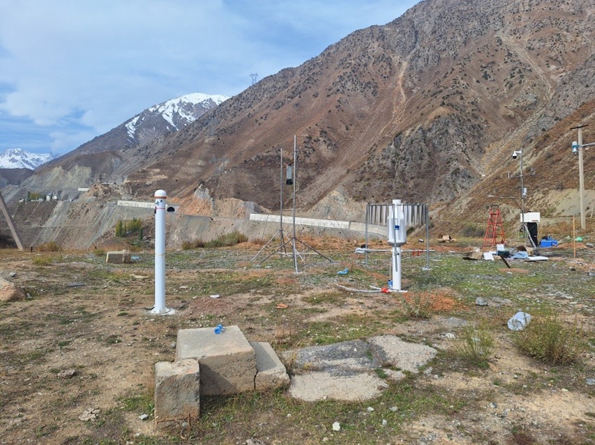
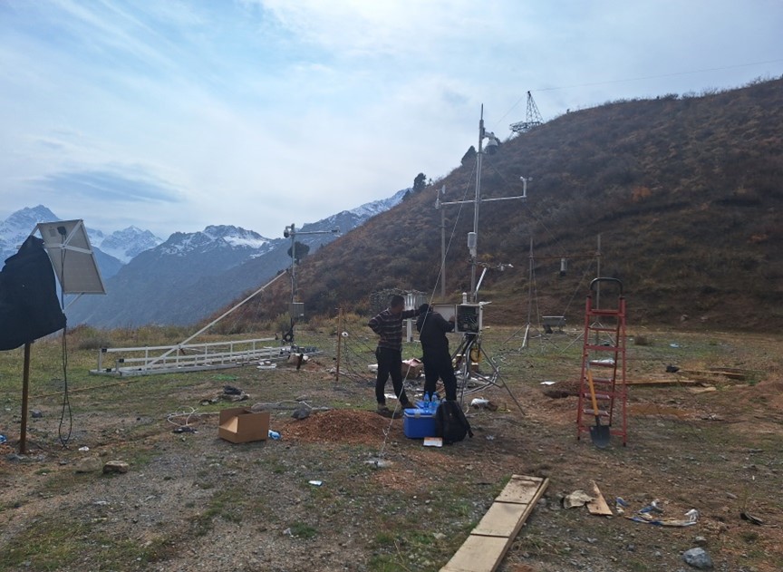
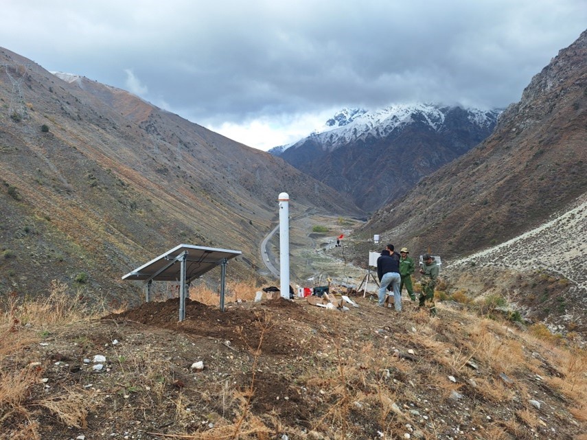
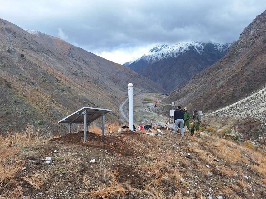
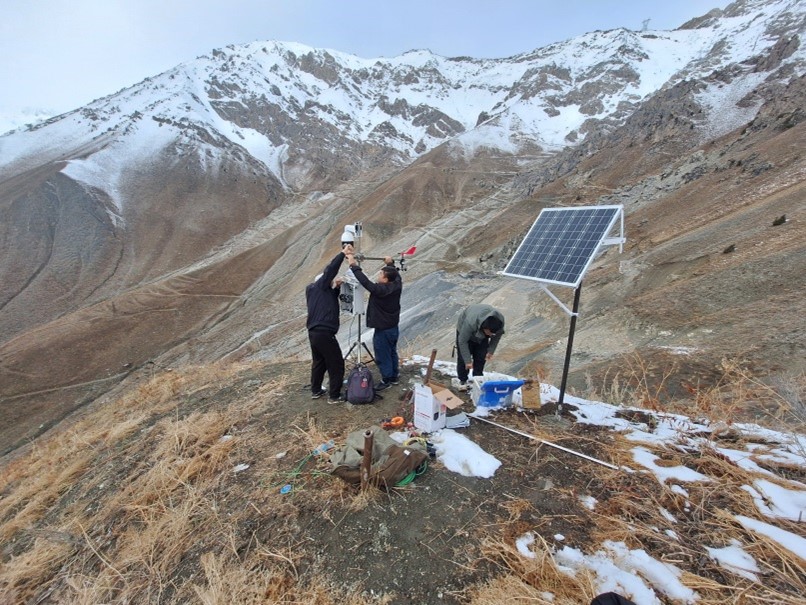
Based on the developed map of the studied area, the Scientific Research Centre for Ecology and Environment of Central Asia (Dushanbe) together with the Committee for Emergency Situations and Civil Defense under the Government of the Republic of Tajikistan and Xinjiang Institute of Ecology and Geography of the Chinese Academy of Sciences, in order to reduce the risk of avalanches and for continuous monitoring of the area using modern technologies, installed snow cover and avalanche assessment stations at different altitudes in 2024. These stations make it possible to take measures in advance to address the risk of avalanches and prevent their devastating consequences.
The stations record meteorological indicators including precipitation, air temperature and humidity, wind speed/direction, snow cover thickness, snow moisture, snow cover temperature (five layers), snow cover moisture (five layers), snow density (five layers), ground surface heat flux, and ground surface temperature and moisture.
The stations are equipped with modern meteorological recording equipment and observation cameras and are widely used in developed countries in mountainous areas. In case of stable internet connection and constant power supply in the Maykhura area, the activities of the installed stations will be monitored from Dushanbe city in real time.

Map of the main avalanche-prone sections of the Dushanbe-Khujand road (from 61 to 73 km).

Station location map.
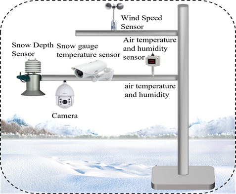
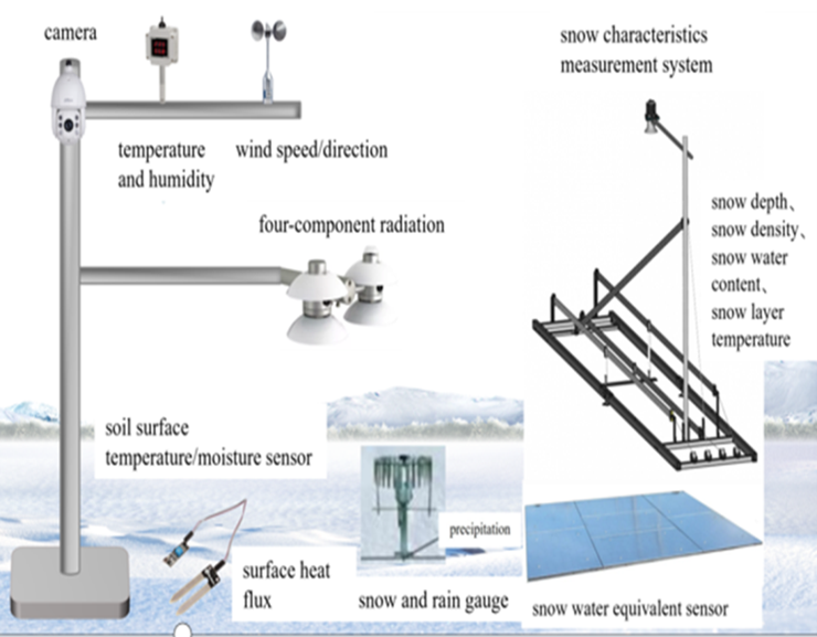
Photo of the main equipment of the station.
 |
 |
 |
 |
 |
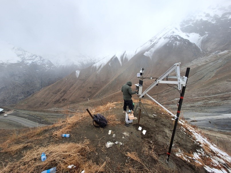 |
Photo of the installation process of the station.
